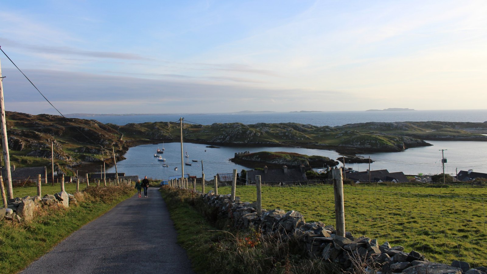
For most of Ireland's history, the west coast didn't face inland — it faced the sea. Before the roads came, before the railway reached Clifden, a scattered chain of small stone piers was how Connemara and its islands stayed connected to the rest of the country, and to each other.
Villages that look impossibly remote by road were, by boat, simply neighbours. A currach launched from Roundstone could reach Inishbofin faster than a cart could reach Galway city. The sea wasn't a barrier here — it was the road.
Built by hand, stone by stone
Many of these piers were built during the Famine relief works of the 1840s, often by the same communities who would go on to depend on them for generations. You can still find their handiwork today: dry-stone quay walls at Aughrus, the harbour at Cleggan, the small landing at Omey Strand that only appears at low tide.
They weren't grand structures. Most were built to land a currach, not a cargo ship — practical, weathered, built to outlast the men who laid them. Many of them have.
What's left
Some harbours, like Cleggan, still work — trawlers and the Inishbofin ferry keep the pier busy most days. Others have quietly gone still, their stone slipways now just a place where the tide comes and goes without much notice.
What hasn't disappeared is the memory of them — in placenames, in the older generation's directions ("down past the old quay"), and in the currach races still held every summer, a sport that started as necessity and became tradition.
Why it still matters
For the diaspora, these harbours carry a particular weight. For many families along this coast, the pier wasn't just a place to land fish — it was the last piece of Ireland someone saw, boarding a boat for Liverpool, Boston or beyond. The same small stone walls that once connected island to island also, for a while, connected Ireland to everywhere its people went.